
Premium
Satellite Ground Tracks
A mission-control map of a fictional planet: three satellites trace sine-wave ground tracks with fading tails, coverage footprints stretch toward the poles, the night side slides west, and ground stations ping and log contact when a satellite passes over.
Written and rendered by AI CSS Animations Nov 2, 2026
- Type
- prompt
- Made with
- Claude Opus 5.5 in Claude Code
- Built in
- Canvas
- Topics
- Maps · Diagrams
About this style
A ground track is the path traced on the surface beneath an orbiting satellite. On a flat equirectangular map an inclined orbit draws a sine wave, and because the planet turns underneath, each pass lands further west. Mission control screens show these tracks with each satellite's coverage footprint, the day and night line and the ground stations that can talk to it, so operators can see at a glance who is in contact and who is next.
Premium
Unlock the prompt
Everything you see above is live. Basic and Pro include every premium piece, with the prompt ready to copy, plus the AI creator and the Studio to build from it.
Similar prompts
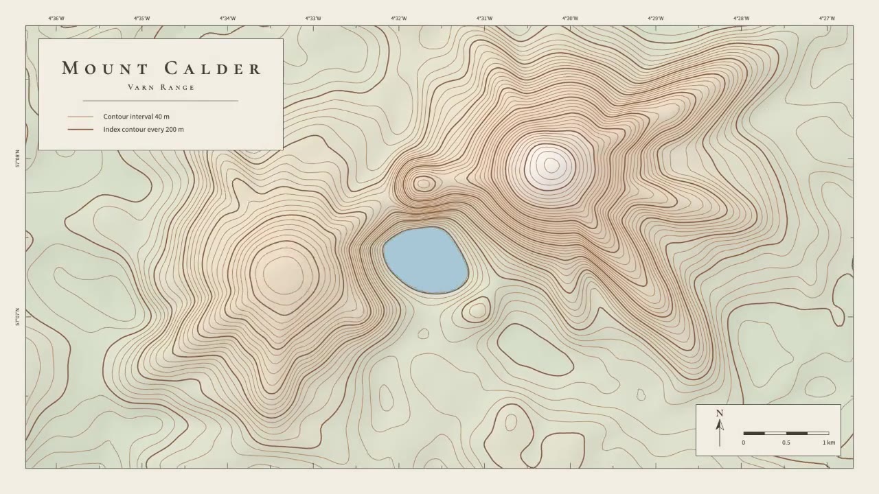
A calm cartographic animation: smooth brown contour lines draw in from valley to summit, the terrain slowly morphs as a…
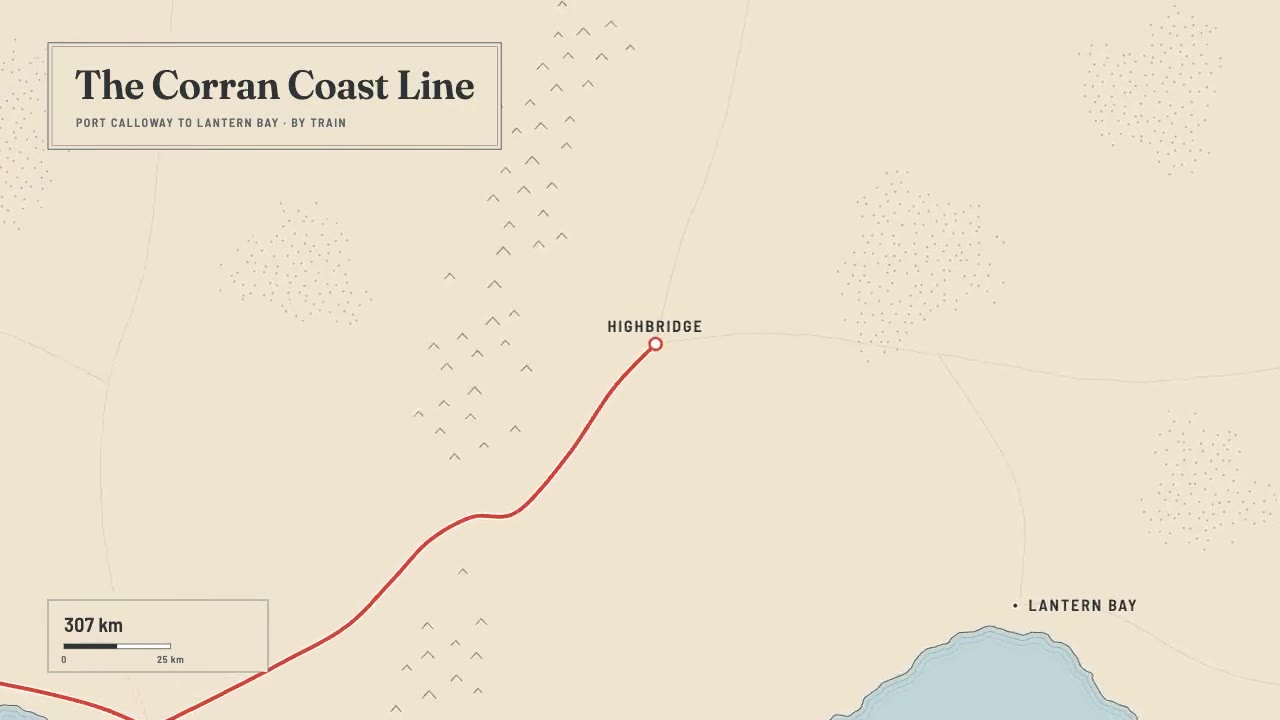
A print-style travel map that draws itself: water-lined coast, ink mountains and serif labels, then a red route line ca…
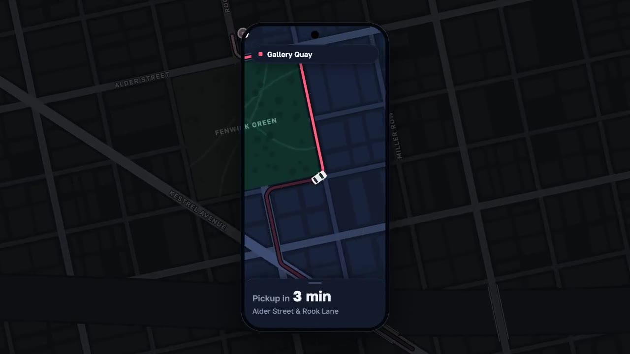
A night map seen through a phone that works like a lens, the city dimmed around it: a coral route draws along procedura…
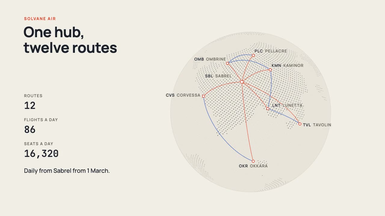
A print-style dotted globe of a fictional world turns on warm paper while vermilion and cobalt arcs fly a new airline's…
More like this on the motion design inspiration board: Diagram animation inspirationMap animation inspiration