
Topographic Contour Map
A calm cartographic animation: smooth brown contour lines draw in from valley to summit, the terrain slowly morphs as a second peak rises and a tarn fills, and map lettering sets in with proper knockouts.
Written and rendered by AI CSS Animations Oct 12, 2026
- Type
- prompt
- Made with
- Claude Opus 5.5 in Claude Code
- Built in
- Canvas
- Topics
- Maps · Line art
About this style
Contour lines join points of equal elevation, so their spacing shows steepness: tightly packed lines mean steep ground and wide spacing means gentle slopes. Topographic maps add heavier index contours, elevation numbers set along the lines, and conventional colors such as brown for land contours and blue for water. Designers borrow the pattern for its calm, organic rhythm and its associations with exploration, outdoor gear and data.
The prompt
<inputs>
You're making a topographic contour animation. I may supply any of these; if I don't give you something, use the default and don't ask.
- Place: Mount Calder and Ardel Tarn in the fictional Varn Range.
- Title: "Mount Calder".
- Elevations: 1,200–3,140 m; contour interval 40 m; index contour every 200 m.
- Length: 10 seconds.
</inputs>

<direction>
Paper #F2EDE2. Hypsometric tints stepped per 200 m band: #DCE4CF (low) → #E8E6D2 → #EFE4CF → #ECDCC6 → #F7F4EE (summit). Contours #B07A4F at 1.25px; index contours #87573A at 2.5px; water #A8C7D4 with a #6F9BB0 shoreline; labels #3D3A35; one accent, #C2452D, for summit triangles and the trail. Multiply a 10% hillshade (light from the northwest) over the tints.
Terrain: a heightfield of a few gaussian peaks and ridges plus seeded value noise, sampled on a 240×135 grid. Trace contours with marching squares and linear interpolation, chain them into polylines, and smooth with two Chaikin passes so nothing stair-steps. Every terrain change comes from blending heightfield parameters by t.
Lettering follows map convention: title and peak names in "Cormorant SC" 600, tracking 0.3em (title 44px); water names in "Cormorant Garamond" italic, #4F7F96; elevations on index contours in "Source Sans 3" 600, 15px, rotated to the line with the tops of the numbers facing uphill, the line knocked out behind each with a 6px gap.
Map furniture: thin neatline, graticule ticks on the edges, north arrow, 0–1 km scale bar, a legend reading "Contour interval 40 m".
Motion is calm and continuous: long easeInOutSine curves of 2–4s, no snaps or bounces. The camera drifts at most 25px/s and zooms 6% across the piece.
Authentic: a constant interval, legible index lines, labels that interrupt lines cleanly. Cheap: neon on black, rainbow ramps, jagged lines.
Banned: glow, dark backgrounds, rainbow ramps, 3D tilt, unsmoothed lines, labels without knockouts, flicker from reseeded noise.
</direction>

<structure>
- 0–1.0s: paper and tints fade up to 30%; the neatline, ticks and a cartouche with title and legend draw.
- 1.0–3.5s: contours appear lowest to highest, 40ms apart, each drawing on from its start point; tints rise to full.
- 3.5–6.5s: the terrain morphs: a second peak rises and the valley between deepens; contours split and merge; water rises in the valley floor to form the tarn.
- 6.5–8.0s: index labels fade in, sliding 8px along their lines; peak names, the tarn name and spot heights ("3 140") appear.
- 8.0–9.0s: a dashed accent trail draws from the tarn to the summit as a small dot walks it.
- 9.0–10s: hold while the drift eases to stillness.
Other lengths: stretch the morph first and keep at least 1s of hold.
</structure>

<build>
One self-contained index.html (inline CSS and JS; Google Fonts via <link> are fine), a 1920×1080 (16:9) stage scaled to fit the window, built for 60fps. Draw on Canvas 2D; three.js isn't needed.
window.seek(t) (t in seconds) sets every visual from t alone, clamping past the end to the last frame. No CSS transitions or CSS animations, no setTimeout/setInterval, no state carried between frames. Value noise comes from a seeded PRNG, keyed to the frame only where something varies over time; never Math.random.
With no ?render in the URL, call seek from requestAnimationFrame so it plays in a browser; with ?render, don't start that loop.
</build>

<check>
Before showing me, step through one frame per second (0–10s) and look at each. Fix overlaps, clipped or cramped text and anything off-style: contours never crossing, no stair-stepped segments, elevation labels oriented uphill with clean knockouts, names clear of the trail. Confirm the final frame holds.
</check>
Ours, and free to use under CC0: copy it, change it, ship it. No credit needed.
Similar prompts
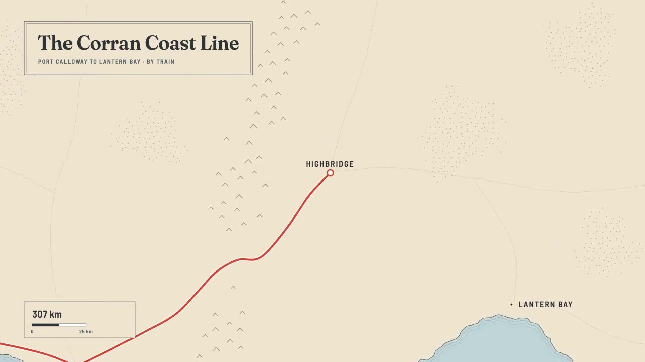
A print-style travel map that draws itself: water-lined coast, ink mountains and serif labels, then a red route line ca…
The front door is /hyperframes. This skill makes a short, design-led, unnarrated motion graphic (motion is the message;…

Create a 4–5 minute cinematic video about the Battle of Austerlitz (1805), built entirely in code. Research the battle…

Multi-war history atlas — intent brief Qing’s words from seat chat (Lupe), 2026-09-22 / 2026-09-23. Do not soften or in…