
Premium
Raised Relief Model
A vacuum-formed classroom relief map of a fictional island on a dark lab bench: the flat print lifts into terrain at 4× vertical exaggeration, tints climb from sea green to snow, a low north-west sun rakes lengthening shadows, and serif labels stay upright as the camera orbits.
Written and rendered by AI CSS Animations Nov 2, 2026
- Type
- prompt
- Made with
- Claude Opus 5.5 in Claude Code
- Built in
- three.js
- Topics
- Maps · 3D
About this style
Raised relief maps press a printed map into a three-dimensional sheet so mountains and valleys can be seen and touched. Classroom versions are vacuum formed: a sheet of printed plastic is heated and drawn over a terrain mold, with heights usually exaggerated several times so that hills read at desk scale. They pair the conventions of the printed map, stepped hypsometric tints, contour edges, water lining and a light from the north-west, with real shadows, which is why they still hang in schools, visitor centers and offices.
Premium
Unlock the prompt
Everything you see above is live. Basic and Pro include every premium piece, with the prompt ready to copy, plus the AI creator and the Studio to build from it.
Similar prompts
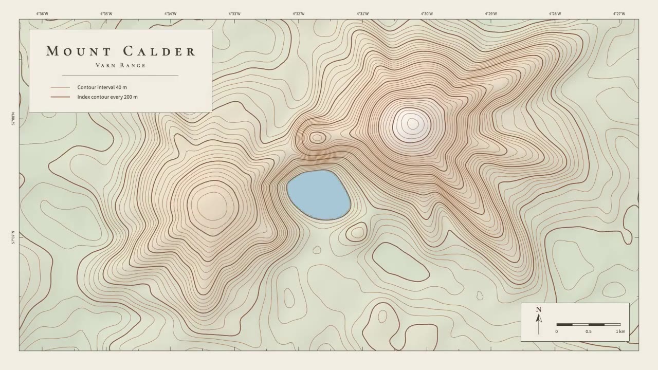
A calm cartographic animation: smooth brown contour lines draw in from valley to summit, the terrain slowly morphs as a…
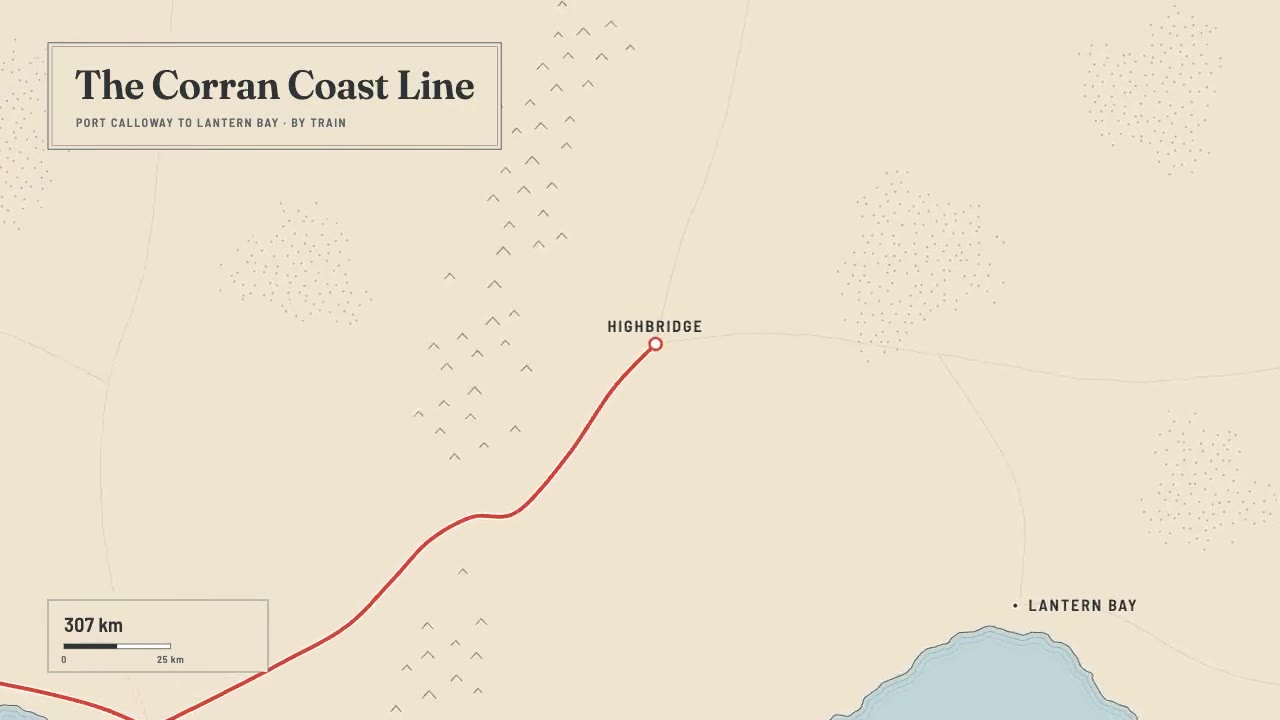
A print-style travel map that draws itself: water-lined coast, ink mountains and serif labels, then a red route line ca…
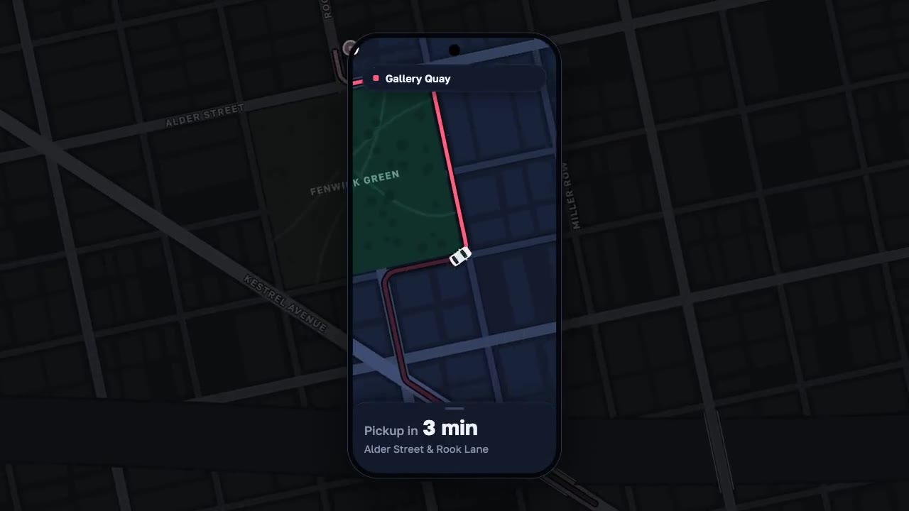
A night map seen through a phone that works like a lens, the city dimmed around it: a coral route draws along procedura…
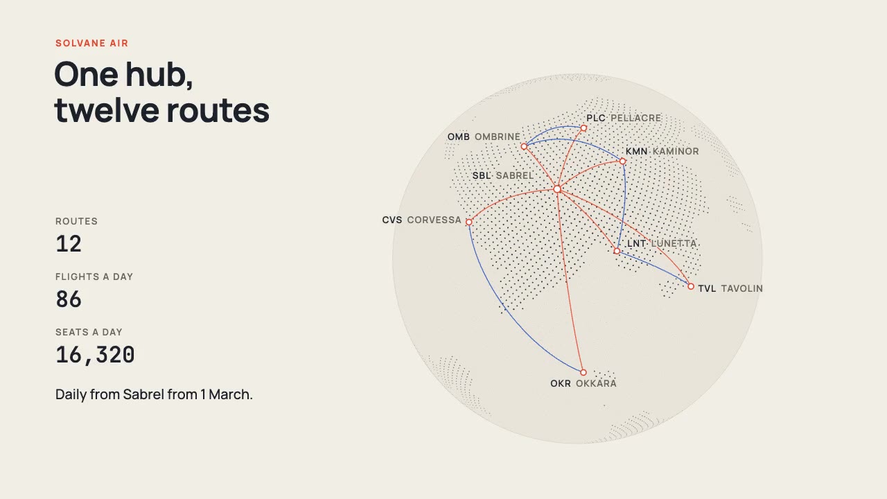
A print-style dotted globe of a fictional world turns on warm paper while vermilion and cobalt arcs fly a new airline's…
More like this on the motion design inspiration board: 3D motion design inspirationMap animation inspiration